After canceling classes yesterday for what turned out to be relatively mild weather conditions throughout much of the school day, it’s back to business as usual for University of Massachusetts students.
Following an “evaluation of conditions both on and off campus in the wake of Hurricane Sandy,” University officials decided to reopen campus for today, according to University spokesman Ed Blaguszewski.
“We did a thorough analysis of the situation on campus, and decided it was safe to open,” said Blaguszewski, who noted that the storm caused “very little damage” at the University.
“We can’t wait for everybody’s situation to be resolved to open the entire school,” he added.
While the school will be open, Blaguszewski cautioned students and faculty to consider their personal safety before leaving for classes in the morning. If an individual is encountering a situation where it is unsafe for them to come to the University, for example a downed power line blocking the only exit to their street, they should not come to class.
The other schools in the Five College system are also resuming classes today.
UMass’ decision to resume classes did not come until a little before 10:30 last night, much to the ire of many students who had expected an earlier announcement. Earlier in the day, a post on the UMass Amherst Facebook page said the University would make an announcement “sometime after” a 7:30 p.m. meeting with the governor’s office about conditions.
Despite Facebook posts criticizing the perceived lateness of the decision, Blaguszewski maintained that the administration took an “appropriate” amount of time making the decision.
“These are important questions of public safety,” Blaguszewski said. “It would be a mistake to rush the decision.”
When deciding whether or not the University should open or close, officials consider the safety of the commute to campus as well as the weather conditions and the school’s ability to operate effectively, according to Blaguszewski.
The Pioneer Valley began to feel the effects of Sandy about 2 p.m. yesterday when winds picked up and a light rainfall began. Located on the fringes of a super storm that some meteorologists are calling a once-in-a century event, Amherst did not see the 70 to 80 mph winds and heavy rain that crippled the Mid-Atlantic states, leaving thousands without power.
While Sandy did not deliver the same powerful punch to Amherst, she still managed to knock over some trees and limbs and force the shutdown of public transit.
Tree limbs and trees came down yesterday as sustained 30 mph winds blew through the Valley. The Daily Hampshire Gazette reported several instances where trees fell on cars and houses causing substantial damage to the property in the area. Half of a metal roof was blown off of a barn on South East Street in Amherst, according to the Gazette.
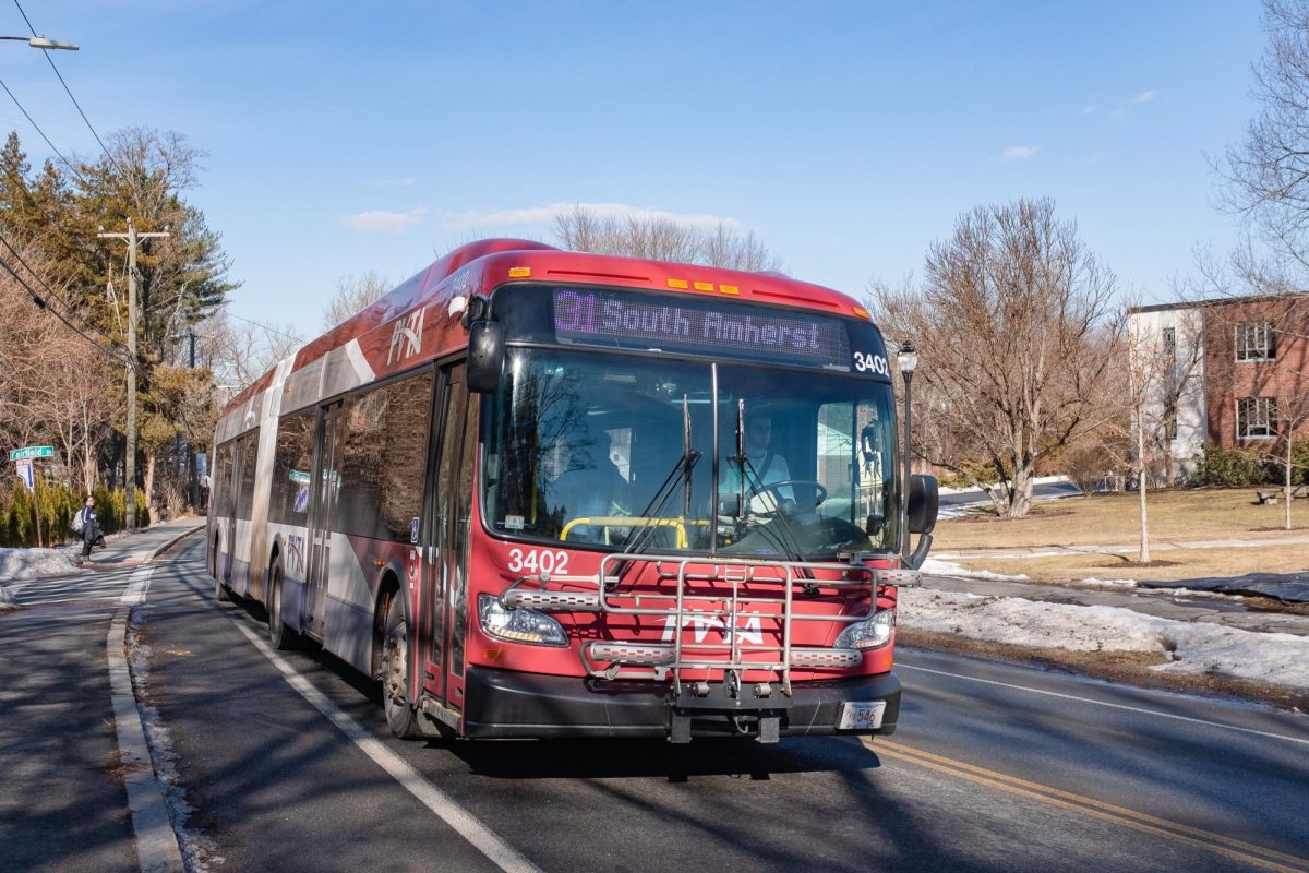
At 1 p.m. yesterday, the Pioneer Valley Transit Authorities shut down services, citing “high winds.” It will resume services on Tuesday.
National Grid and Western Massachusetts Electric Co. – the two power companies the supply electricity to the Amherst area – worked to keep power outages to a minimum, a struggle the company was largely successful with.
In North Amherst, the percentage of people without power remained under 10 percent, according to WMECo’s power outage map. National Grid also reported minimal outages in the area.
Amherst town officials declared a state of emergency yesterday and urged residents to stay off area roads if they could. But no injuries or major road damage in town had been reported as of last night, according to Amherst Select Board Chairwoman Stephanie O’Keeffe.
“There have been a couple of transformers out, but by and large there have not been a number of calls to the Department of Public Works,” O’Keeffe said. She noted that officials had recommended that residents shelter in place during the storm.
Hurricane Sandy started as a Tropical Depression on Oct. 22 with wind speeds at 30 mph in the Caribbean Sea north of Panama. It became a Category 1 hurricane with wind speeds reaching 80 mph just before it passed through Kingston, Jamaica, on Oct. 24.
Sandy hit Cuba and the Bahamas as a Category 2 hurricane on Oct. 25, with wind speeds above 100 mph before going out in to the Atlantic Ocean and slowing to a Category 1 again.
The hurricane traveled up the coast, moving about 15 mph before making landfall yesterday with the eye of the storm hitting in the Delaware and Maryland area last night moving 28 mph.
The storm’s radius was reaching as far north as Maine and Vermont, as far south as South Carolina and as far west as West Virginia when the storm hit land.
The storm is predicted to move west across land near Pittsburgh by this afternoon, before moving north in to New York with wind speeds expected around 45 mph.
Sandy is expected to then travel over Lake Ontario and northeast with 35 mph wind into Canada hitting Quebec, Vermont and Maine as it moves out to sea near Prince Edward Island on Nov. 3.
As the eye of the storm passes west and then north the effects will be felt in the Amherst area with rain and wind above 10 mph predicted every day through Friday.
Katie Landeck can be reached at [email protected]. William Perkins and Sam Hayes contributed to this report.

